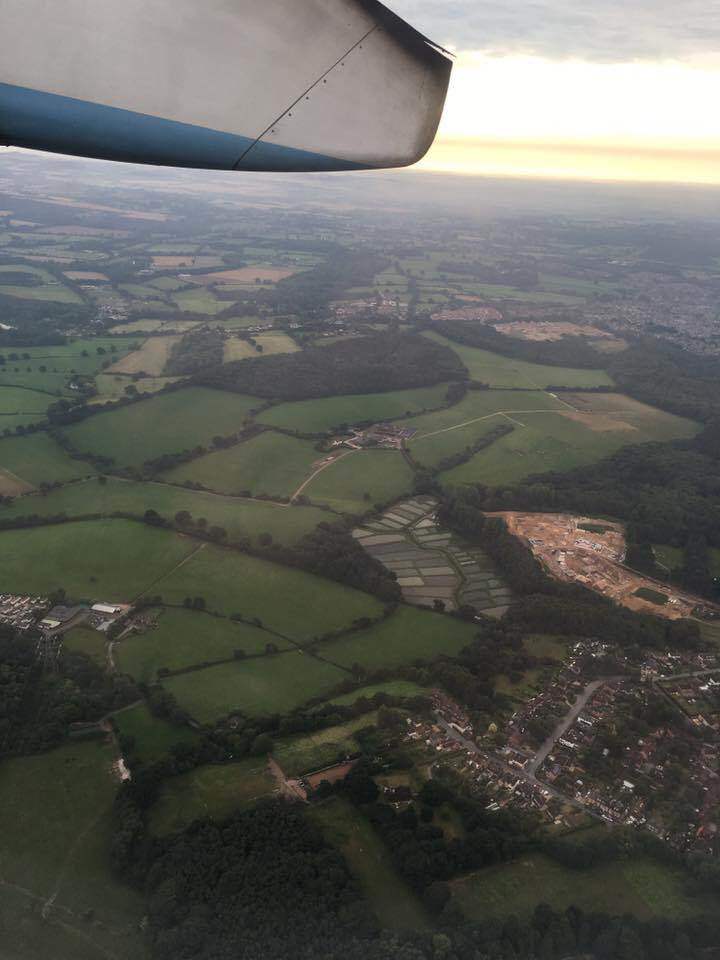
Chris Tomkins/Rob Byrne, 29 August 2016: This great aerial photo by Chris Tomkins shows the extent of the destruction that options B and C would cause. Stoke Common Road is at the bottom of the picture, with Upper Barn and Crowdhill Copses in the middle of the picture, and Stoke Park Woods on the right. At the far top is the countryside north of Mortimer Lane, Fair Oak heading towards Upham. It’s important to realise the open countryside you see is only two thirds of the total ‘new town’ Eastleigh Borough Council is thought to be planning as Allbrook, Highbridge and the M3 are not visible.


